You'll Never Believe This One Expert Tip For Gauging Trail Difficulty
Plus - How the Record Snowpack may Snarl your Sierra Summer, a Lost Canyon's Revival, the Sound of Stressed Plants, an in-depth guide for the Backbone Trail and more
howdy
I recently did an interview about hiking for a travel magazine and they asked how to tell when you’re ready to ‘move up’ from an easy hike to a more difficult one.
I’ve been asked this question a lot, via email or social media and in person at author’s events and book signings. My answer is always the same and I always get the sense that it’s not exactly the one people want to hear—because it’s not fast and it’s not simple. But I can attest that it does work because it’s the same method I used when I first started hiking in Los Angeles nearly 20 years ago.
Now, I know that people who are looking for hikes generally just Google something or pop onto a site like AllTrails to find stuff—and that’s fine! I really enjoy the new AllTrails+ app as a way to find things, especially when I’m traveling, but like any online review you really have to take everything with a grain of salt. One person may describe a short scramble up volcanic rocks as a life-or-death travail while another may barely even note it. And one person’s “moderate” is another person’s “arduous.”
A few years ago, I was hiking in Alberta’s Kananaskis Country on trails the locals described as “pretty easy.” On-trail, though, these routes included steep scree slope descents and chain-assisted cliff crawls, which to me meant at least “strenuous.” But hey, I was just the visiting Angeleno, they’re the locals.
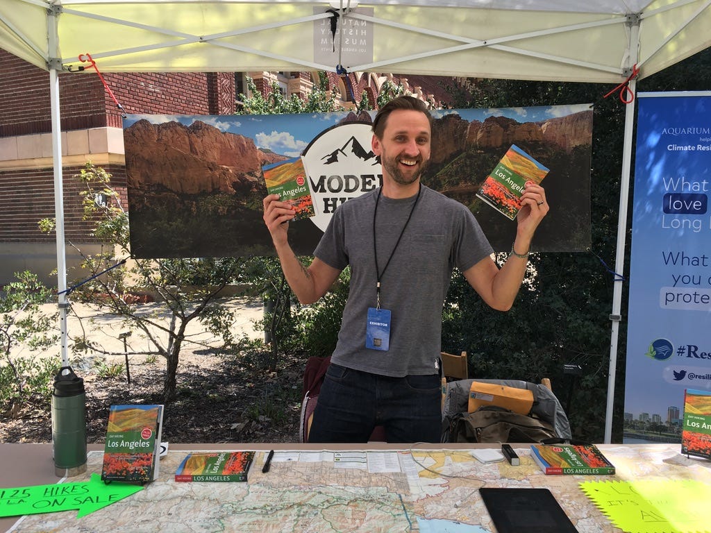
So what’s my secret to unlocking the true matrix of hike difficulties? It’s simple—find a local outdoor writer and use them as a baseline. For me, it was picking up books by John Robinson and Jerry Schad at Adventure 16 (RIP, all) in West L.A. Even after hiking blogs and websites became more of a thing, I would still go back to Robinson and Schad’s books for descriptions, histories, and a good metric of how tough the hike was going to be. These writers also ended up being huge inspiration for my own hiking books.
If you spend enough time with a few local writers, you’ll not only get to know hiking from someone who’s exploring the same trails as you (and someone who cares enough to spend a lot of time and energy writing about them), but you’ll also get a good handle on what “easy” means to each writer. This will help you figure out when you’re truly ready to move up to moderate or strenuous hikes.
As an added bonus, you’ll also get to feel good about supporting your local outdoor writers (trust me, not a lot of us can earn a living off this), and most of us are very happy to answer questions and provide advice on and off the trail, too.
So let me know — Who are some of your favorite outdoor writers, journalists, YouTubers, Instagrammers, or anything else? Let me know in the comments so A). I can read more great outdoor writing and B). Maybe give ‘em all a shout-out next week!
The Big Story
Something to talk about
Predicting the Sierra Summer
It’s no news to anyone that California’s most recent Wet Season has been pretty dang sopping. As I write this, statewide reservoir levels are above 96% of the historical average. State snowpack is a boggling 235% of average levels, likely surpassing the all-time record set in 1982-1983. In the Sierra Nevada range, the northern Sierra sits at 190% of its historical average. The central Sierra is at 233% and the southern Sierra is at 297%.
While this is all (mostly) very good news for a region that’s has been living in a megadrought for 22 years, all this snow may snarl plans for hikers through much of the prime hiking season. Michael Cabanatuan notes in the San Francisco Chronicle that the outlook for the rest of the month is still “cold and wet,” which means all this snow will likely delay hiking times for routes like the John Muir and Pacific Crest Trails—and could make things a lot more dangerous for people who venture out.
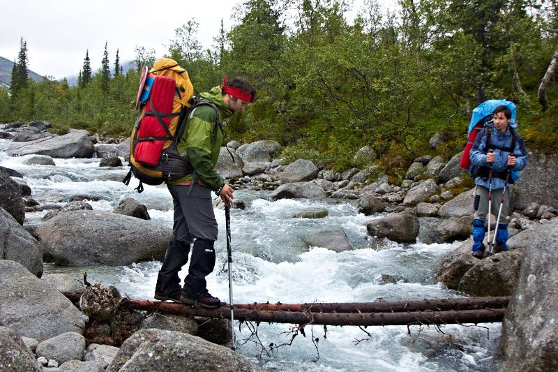
During high snowfall years, the multiple stream and river crossings in this region can be truly treacherous. In previous high snow years, many thru-hikers have been injured and even killed in these crossings, so don’t underestimate them!
The Pacific Crest Trail Association has an excellent guide on how to assess creek crossings for safer options, and safety tips on what to do if you do happen to get swept away. You’ll want to read up on this before this summer!
Related: Learn more about how scientists measure Sierra snowpack and check out some great photos and video in action via the New York Times.
Modern Hiking
Good stuff from the Modern Hiker site
Speaking of Water
Since California is getting a ton of water, now’s a great time to get out to take a look at it! It may not feel like it, but dry, dry summer isn’t that far away. So whether you’re aiming to get to some of the best waterfalls near Los Angeles or San Francisco, or post-rain hikes in San Diego, or maybe you just want to see some of our lakes with some decent water levels.
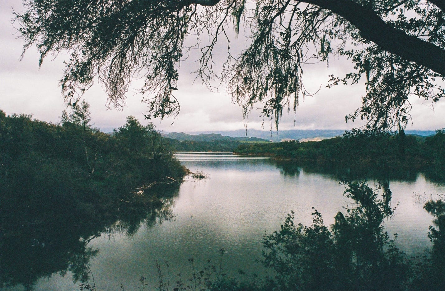
If that last one sounds like you, you may want to check out Andrew Shults’s new guide to the Sweetwater Trail at Cachuma Lake in Santa Barbara County. Don’t forget to bring your fishing pole, too!
Your Parks
Your Places
A Lost Canyon Returns

One of the strangest aspects of writing this weekly newsletter is the onslaught of vastly different stories resulting from the winter wet season. California is getting so much water that phantom lakes are re-appearing, and just a bit to the east, the nation’s second largest reservoir is at some of its lowest ever recorded levels. Lake Powell, formed by Glen Canyon Dam, is at danger of becoming trapped behind the dam if its levels drop below the turbines that provide power to the region. An in-depth piece by High Country News (republished at Atlas Obsurca) goes into the complex situation—a restored Glen Canyon landscape could damage or destroy the ecosystems further down the Colorado River, including in Grand Canyon National Park.
Leafing Out
Plants!
This is What it Sounds Like When Plants Cry
While there has been a lot of evidence over the past several years about the ways plants communicate with other organisms, a new study published in the journal Cell documents the audible sounds plants make when they are stressed. Interestingly enough, the sounds seem to change depending on what kind of stress the plant is under—a New York Times article notes that a machine-learning program could figure out with 70% accuracy whether a plant’s noises were due to being cut or going thirsty.
Don’t strain yourself putting your ear next to your garden plants, though—the sounds are only audible to humans after being processed. But other animals can hear these sounds, and researchers are wondering whether other plants may be listening in, too. Read the article and hear some recorded sounds here. The full study is available on Cell.
One More Thing
Oh yeah, before I go …
Breaking Down the Backbone
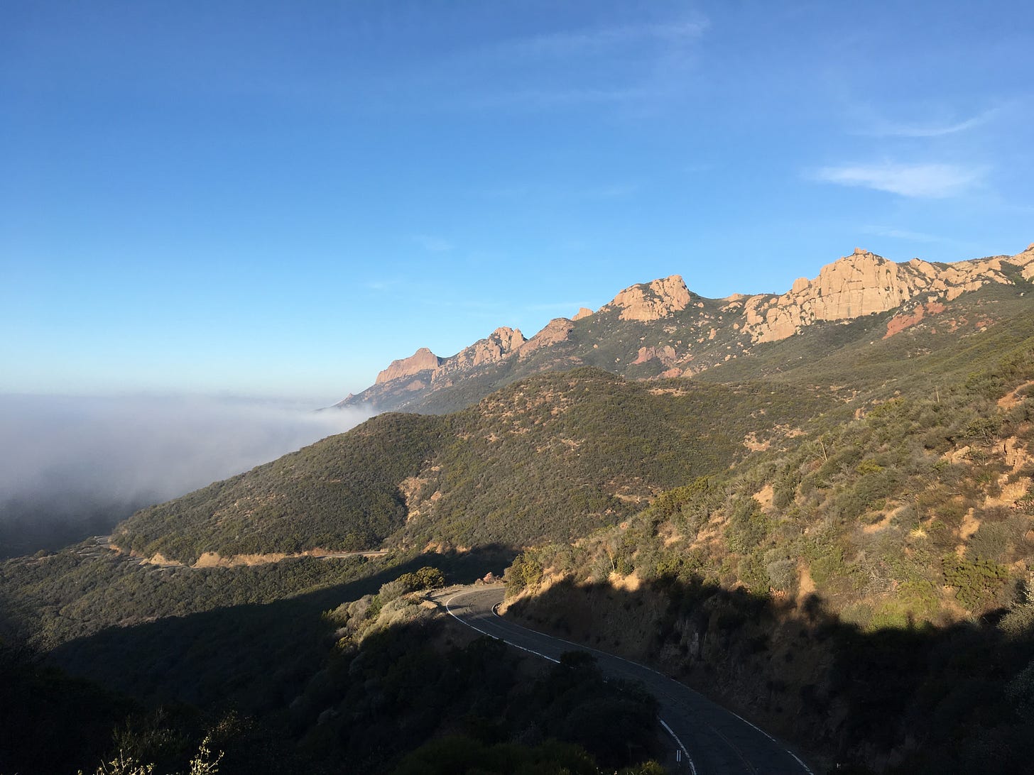
Hikers in Southern California’s Santa Monica Mountains have likely crossed or hiked on the Backbone Trail at some point in their hiking time, but relatively few have thru-hiked its entire 67-mile distance. Mostly because the places where you can legally camp are very few and far between (and often well off-course).
My good friend (and frequent trail companion) Shawnté Salabert put together a comprehensive guide for the route, covering just about everything you would ever want to know about tackling this trail—including the best restaurants to celebrate at when you’re done. Read it and get inspired for your own thru-hike!
Until next time, Happy Trails,



👍🏼👍🏼